Non quoting
Property for saleCowling Mill, Cowling Brow, Chorley, Lancashire PR6
196,020 sq. ft
Just added
About this property
4.5 Acres
Brownfield site
Outline planning permission granted for the erection of up to 65 dwellings
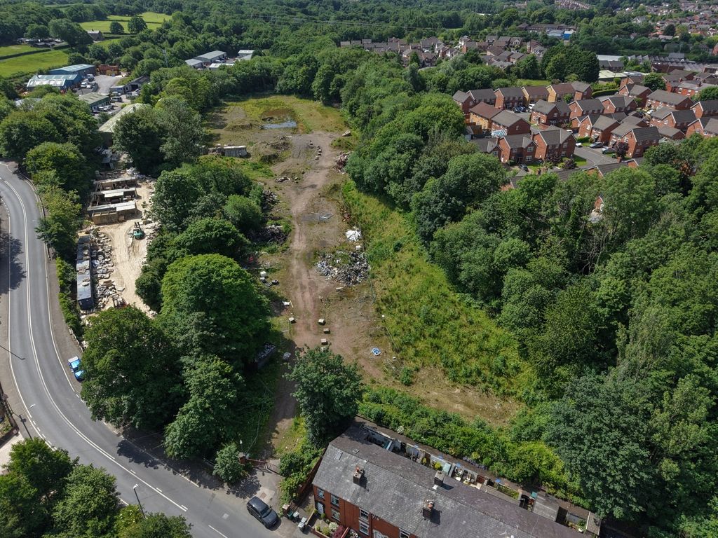
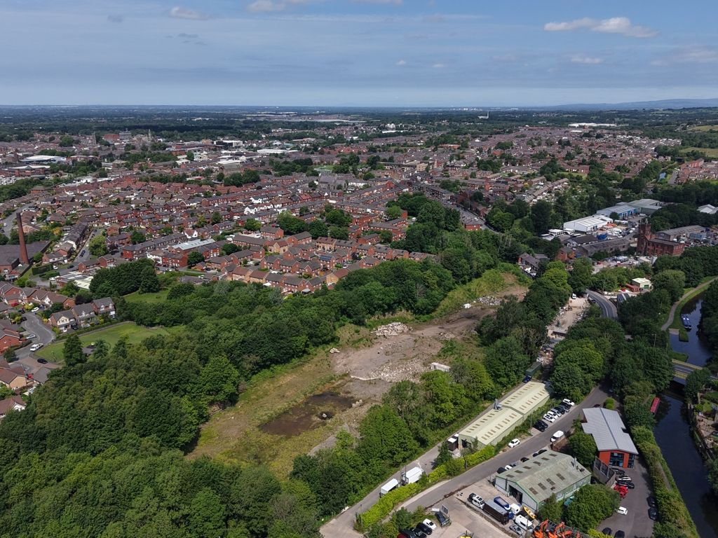
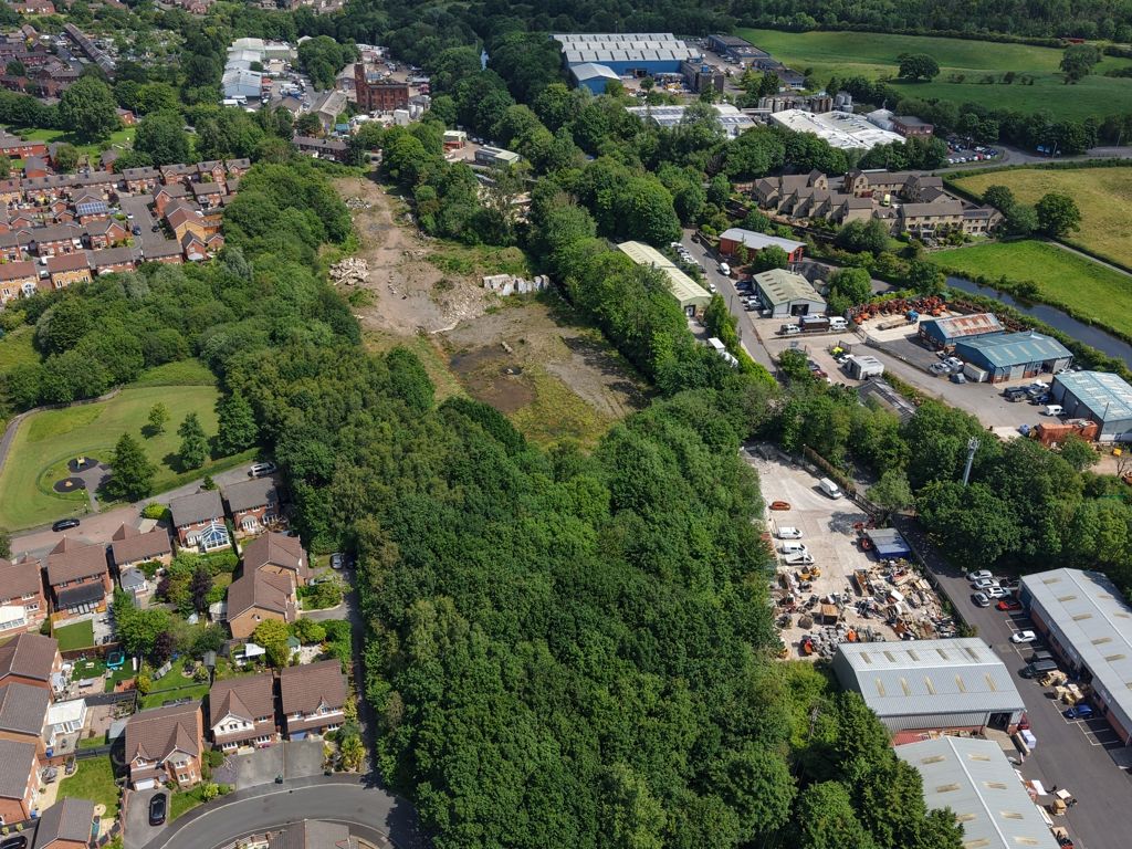
The site is situated on the south side of Cowling Brow located on the on the eastern edge of Chorley, approximately 1km east of the town centre.
The Site is accessible via several surrounding roads within 1km, including motorway access to J8 of the M61 located 2 miles northeast. Nearby transportation infrastructure includes Chorley Interchange bus station 1km northwest, and several railway stations including Chorley Station which is 1km northwest.
The nearest hospital is Chorley and South Ribble District Hospital, located 2.5 km northwest of the Site. Schools within proximity include Albany Academy, a secondary school located 0.4km from the site.
The site
The brownfield site spans an area of approximately 4.5 acres (1.83 hectares) and is generally curving along the boundaries. Previously accommodating a cotton mill, the building has since been demolished.
The site slightly slopes, descending from the northwest to the south. There is also an electricity distribution building located at the west edge.
Planning
The site has a Resolution to Grant Outline Planning Permission following committee meeting on 10 June 2025, for the erection of up to 65 dwellings with all matters reserved, save for access.
The application documents can be viewed via Chorley Borough Council's planning portal using planning application reference 14/00500/outmaj.
This site is identified as being located in a sustainable location near schools and healthcare and the district of Chorley face a housing land supply shortfall, with only a 2.86-year supply.
Our clients planning consultants are Eden Planning, should interested parties want to discuss planning matters with Eden Planning it should be noted that they are retained by our client for any planning queries, the contact details provided on the final page of the brochure.
Community Infrastructure Levy & S106
cil: Chorley Borough Council is a cil Charging Authority
Affordable Housing
The scheme requires a 30% on-site affordable housing provision.
Site constraints
Flood Risk
The Site is affected by flood zones: A section to the southwest of the site falls within flood zone 2, and part of the southeast section is within flood zone 3. Flood Risk Assessments have been produced with flood alleviation strategies proposed for the development. There are also surface water flood risks, with varying risks from low to high across different sub-areas. The drainage technical note available with a full strategy comprising a solution of raising the site levels and on site attenuation.
Biodiversity Net Gain (bng)
It is anticipated that bng is to be revisited as part of any Reserved Matters application, however the latest metric suggested the need for an additional 3.6 credits.


.png)