Guide price
£35,000
Property for saleAmenity Land At Herodsfoot, Liskeard PL14
EPC Rating: F
Freehold
About this property
Land providing potential for a variety of uses
Mains electricity was previously connected
A total area of approximately 594 square metres
Positioned in a rural location
Freehold
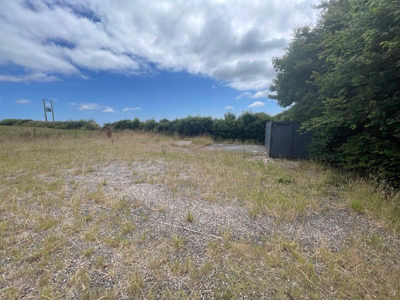
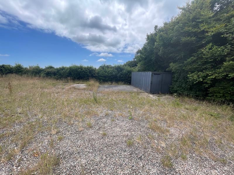
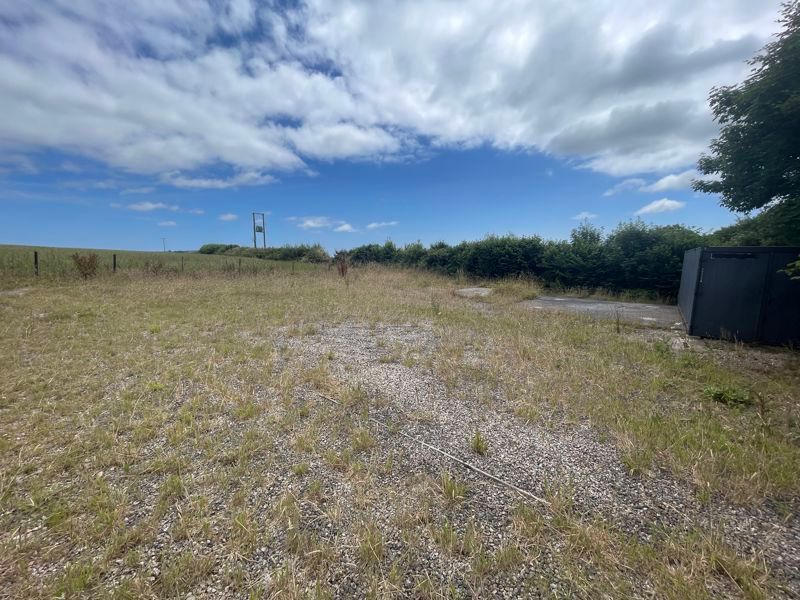
20ft Shipping Container
** Best and Final Offers by 12 noon 15th September ** A small compound previously used for a telecoms mast with two concrete pads and gravelled area.
Description
This land is being offered to the market as a former Telecommunications Mast Site which has now been removed. The land provides potential for a variety of uses subject to planning and is being sold as bare land suitable for an allotment, recreational or storage purposes.
There are two concrete slabs on the site with the remainder principally laid to gravel.
Mains electricity was previously connected. There is good access to the land from the public highway.
The parcel of land enjoys pleasant countryside views. The land has a total area of approximately 594 square metres.
There will be no onerous covenants or overages with the sale.
Location
The land is positioned in a rural location adjoining Boconnoc Estate at Buckabarrow Downs. The larger villages of East Taphouse and Lanreath are nearby.
Services
No enquiries have been made by the selling agents. Purchasers should make their own enquiries with the utility companies about any service connections. No services are connected at present although mains electricity was previously connected to the Mast.
Tenure
The land is freehold and will be offered with vacant possession upon completion.
Wayleaves/Easements
The property is offered subject to, or with the benefit of all wayleaves, easements, quasi easements, rights of way, covenants and restrictions whether mentioned in these particulars or not.
Plan
The Ordnance Extract shown on these particulars is believed to be correct. However, it is not to scale and is to be used for identification purposes only. The land is shown edged red on the attached plan.
Viewing
Strictly by prior appointment with the vendors agents – Jefferys tel:
What3Words
Tools.flips.unwraps
Directions
From Liskeard proceed towards St Austell. Enter the village of East Taphouse and take the turning on the left signed Looe upon leaving the village. Continue along this road and take the first right and then immediate left. The site will be found on your left hand side just past the turning for Boconnoc.


.png)