Guide price
£75,000
Land for saleSandwich Road, Hacklinge CT14
Freehold
About this property
This parcel of land is situated in an area known as Hacklinge, which is located in a rural area just north of Sholden, approximately halfway between the market town of Sandwich and the seaside town of Deal, both of which are about 5 kilometres (3 miles) distant. The land lies on the south side of the South Stream and it is located within the Sandwich Bay to Hacklinge Marshes Site of Special Scientific Interest, the Thanet Coast and Sandwich Bay Ramsar site, and Surface Water and Groundwater Nitrate Vulnerable Zones.
The parcel of land is registered with the Land Registry under title K530728.
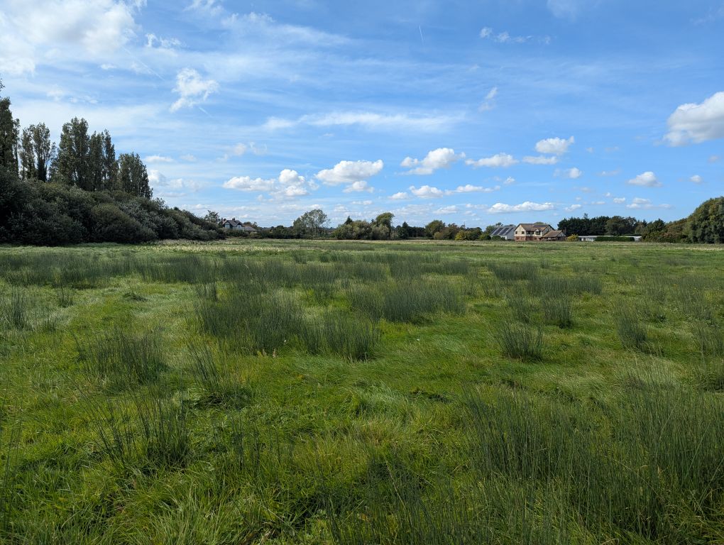
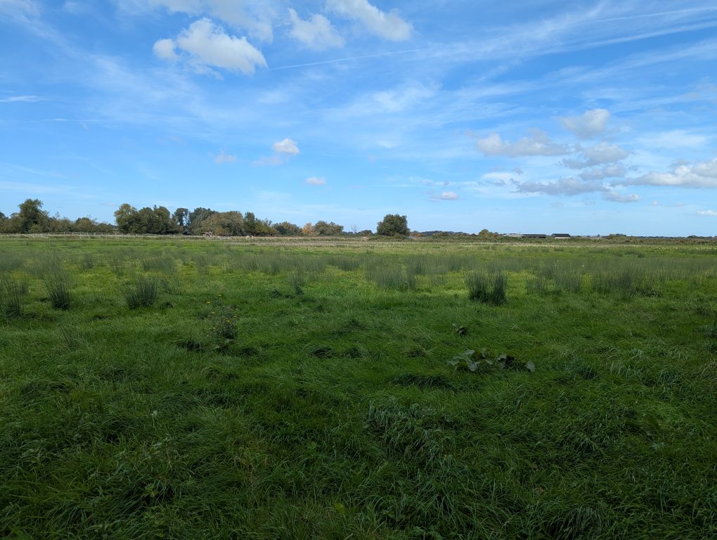
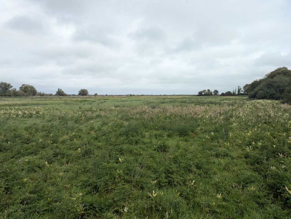
The land has an estimated area of 4.09 hectares (10.11 acres). It is level, and it is currently laid to permanent pasture, although the sward would benefit from some weeding. We are not aware of any services connected to or available to the land.
The boundaries are mostly marked by drainage ditches, with most of the northern boundary marked by the South Stream. The A258 Sandwich Road runs parallel to its western boundary, although they are separated by a narrow strip of land. A restricted byway runs parallel to the southern and eastern boundaries of the land on the opposite side of the ditches. There is an overhead line running across the south western part of the land. There is a gated access point along its southern boundary which leads to the A258 via a tarmac
driveway running along the Pinnock Wall.
Guide Price £75,000
Vacant possession upon completion
Mortgage calculator
Monthly repayment
£375 per month
Whole of market comparison
70+ lenders and 10,000+ products
The monthly repayments provided are estimates and should be used as a guide only. The actual amount you can borrow will depend on your personal financial situation and subject to a full application. For a more precise estimate, please use the Mojo mortgage calculator. Your home or property may be repossessed if you do not keep up repayments on your mortgage.


.png)